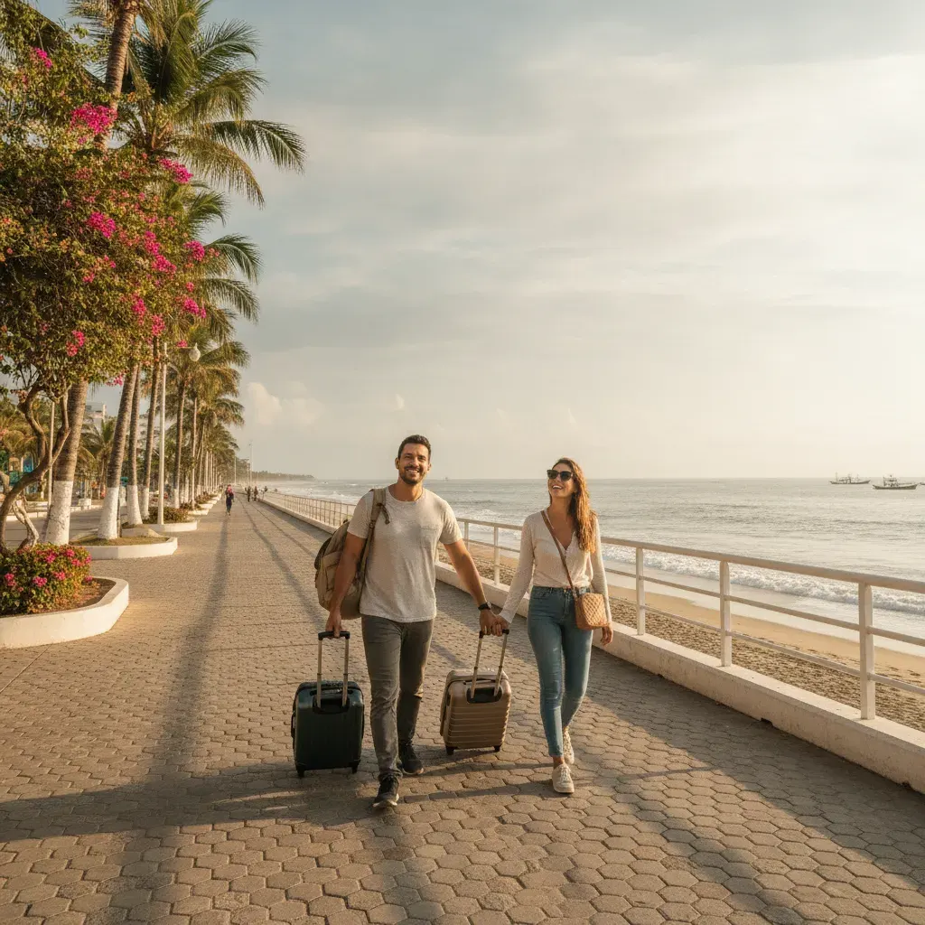
"Driving Ecuador's Coast: The Ruta del Spondylus Road-Trip Guide for Expats (2026)"

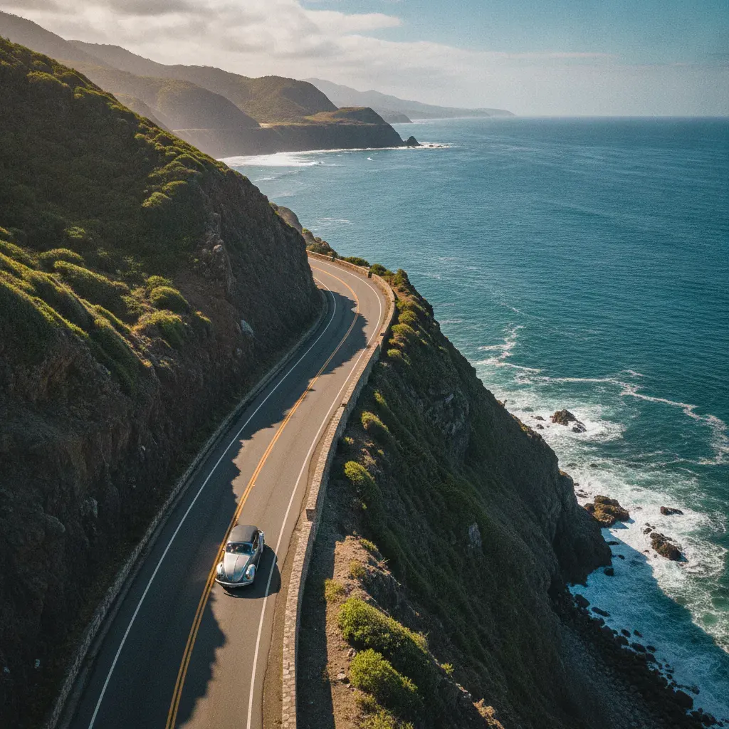
Ecuador's Pacific coast runs roughly 800 kilometers from the northern border to the Gulf of Guayaquil, and the road that stitches it together — the Ruta del Spondylus, signed as the E15 — is one of the most underrated drives in South America. If you already live in Manta or Salinas, or you're scouting beach towns for a move, a coastal road trip teaches you more in a week than a year of forums.
The Route at a Glance
The Spondylus runs from Esmeraldas in the north through Atacames, Mompiche, Jama, Bahía de Caráquez, Manta, Puerto López, and Montañita, ending at Salinas in the south. It's paved nearly end to end, but it is not an interstate: expect two lanes most of the way, towns that slow you to a crawl, and long stretches with the Pacific just off your shoulder.
Renting a Car
International chains operate at Guayaquil's José Joaquín de Olmedo airport, and local agencies cluster in Guayaquil, Manta, and Salinas. As of late 2026, expect roughly $50–90 per day including basic insurance, with automatics costing more. Before you sign:
- Confirm whether the quoted insurance actually covers you or just meets minimums
- Ask about the deposit hold on your credit card
- Check mileage limits and drop-off fees for one-way rentals
A valid license from home, your passport, and a credit card are the usual requirements. An International Driving Permit isn't always demanded, but it's cheap insurance against confusion at a checkpoint.
Rules of the Road
- Ecuador drives on the right.
- Speed limits are generally 50 km/h in urban areas and 90–100 km/h on highways, with cameras in some stretches.
- Seatbelts are mandatory, and phone use while driving is restricted.
- Alcohol limits are strict — the safest policy is simply not to drink and drive.
- Gasoline is subsidized and among the cheapest in the region. Regular ("extra") is the standard fill; "súper" and diesel cost more. Attendants pump for you.
- Tolls are modest — typically a few dollars at most on the coastal route. Keep small bills handy.
What to Expect on the Road
- Topes — speed bumps, often unmarked and sometimes aggressive. Slow down.
- Police and military checkpoints, especially near provincial borders. Keep license, registration, and insurance within reach.
- Temporary closures, particularly from roughly January through May, when washouts and landslides can shut a stretch for hours or days.
- Buses passing on curves, motorbikes weaving, and the occasional wandering dog or cow.
Safety
The coast is generally fine to drive, but the rules expats learn quickly are consistent:
- Avoid driving at night, especially outside cities.
- Keep doors locked in urban traffic and windows up at stoplights.
- Don't leave bags, phones, or anything visible in the car.
- Use attended parking in beach towns — usually a dollar or three.
A handful of small river crossings are handled by bridge or small ferry. Check locally before assuming a shortcut exists, and never ford water you can't see the bottom of.
Buses and Taxis as an Alternative
You don't need a car to enjoy the coast. Interprovincial buses are cheap and frequent between Guayaquil, Manta, Puerto López, Montañita, and Salinas, and ride-hailing apps work in Guayaquil and Manta. Many expats live happily without a vehicle and rent only for trips.
Distances You'll Actually Drive
| Route | Approximate drive time |
|---|---|
| Guayaquil – Salinas | ~2 hours |
| Guayaquil – Montañita | ~2.5–3 hours |
| Manta – Puerto López | ~1.5–2 hours |
| Manta – Bahía de Caráquez | ~1.5 hours |
| Quito – Manta | ~7–8 hours |
Times assume daylight, normal traffic, and no washouts. Always add buffer.
A Five-to-Seven Day Route
- Day 1: Guayaquil to Salinas or Montañita — settle in and beach.
- Day 2: Explore the Santa Elena peninsula; overnight in Montañita.
- Day 3: Montañita to Puerto López — Machalilla National Park, and Isla de la Plata if timing works.
- Day 4: Puerto López to Manta — seafood, museums, and a rest day.
- Day 5: Manta to Bahía de Caráquez — the bridge crossing at San Vicente is a highlight.
- Days 6–7: Push north through Jama and Mompiche toward Atacames, or loop back depending on time.
Short on days? The southern half, Guayaquil to Manta, packs the most variety into the least driving.
Road-Trip Checklist
- Valid license, passport, and ideally an IDP
- Rental agreement and insurance paperwork
- Small bills for tolls, parking, and gas
- Offline maps downloaded before you leave
- Phone charger and power bank
- Water, snacks, sunscreen
- Emergency numbers saved — Ecuador's unified line is 911
What This Means for Expats
A car is freedom on the coast, but it's optional. If you drive regularly, budget for fuel, tolls, and parking — all cheap — and treat night driving as something to avoid rather than a calculated risk. If you're planning a longer move, it's worth reviewing your insurance picture early; services like EcuaInsure help coastal expats sort coverage questions before they become urgent. And if you're still deciding where to land, this drive will do more for your decision than any amount of reading.
Last updated: September 2026. General information only — verify details with official sources before acting.
Keep Coastal Ecuador's daily expat briefing independent.
Reader support helps pay for reporting, translation, editing, hosting, and the daily work behind CoastalEcuador.